This is what is on the Historical marker for Decorah Peak-
The rock-crested hill to the east was named after One-Eyed Decorah, a Winnebago chief who, according to tradition, took refuge in a cave near the peak after being wounded in a Chippewa attack on his village. He remained in hiding throughout the bloody engagement and then at nightfall made his way down the Black River to another Winnebago settlement. The next day he returned, surprised the celebrating Chippewa and routed them. With other Wisconsin chiefs Decorah signed a treaty with the United States at Prairie du Chien on August 19, 1825, establishing tribal boundaries in the hope of securing "a firm and perpetual peace." He achieved his greatest renown after the Black Hawk War when he accompanied the defeated Black Hawk and the Prophet to Prairie du Chien, where on August 27, 1832, the two Sauk leaders surrendered.
 |
| This is the sign at the beginning of the trail up to Decorah Peak. These are pictures from the hike up the hill. Some of the pictures you can tell how steep it was. |
Our Trail Guide--Uncle Rick
The boys found wild raspberries growing along the trail. They ate them for energy.
Adam, Andrew & Brendon
Mary, Brent & Brendon
Tracy, Adam, Andrew & Ben
This is at the very top of Decorah Peak. You have to climb through this little area to make it to the very top. It is kind of scary at some spots. I was sure glad that we left Addison and Kloi back with Grandma. I don't think that we could have made it with them. You can see in this picture that Brendon is making his way up.
This is a picture that I took looking back through what we had to climb up.
This is from the top of the Decorah Peak looking down at Brent and Mary waiting to come up.
Brendon on top of Decorah Peak. Look at how pretty it is.
Adam enjoying the view of Wisconsin!
Mary is afraid of heights and she was able to make it to the top!
Brent climbing to the top. Looks like a small area to climb through...doesn't it!
Cody and I
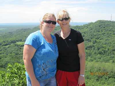
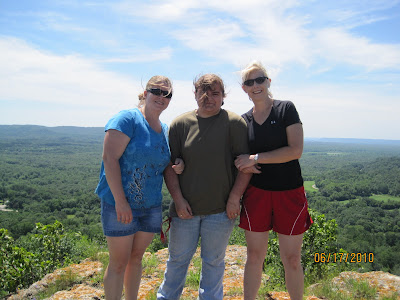
This is the group of us that hiked up Decorah Peak minus Cody.
My Uncle Rick and his daughter Maria
The view from on top
You can see the black river in this picture.
If you click on this picture and blow it up....You can see in the middle of this picture 2 blue silos. That is my grandparents farm that you can see.


Love the pictures. Brings back memories from when our parents took us up here 35 years ago. My moms cousin owned Pow Wow campground nearby along the Black River. We camped there a number of times over the years. On our way home from Minneapolis to Milwaukee, we stopped and tried to locate the trail head. Never did find it. I'd love to make the trek with my family, so I'm looking for some more information. I couldn't find an email address on the blog to contact you. Please send a reply to veyj@yahoo.com. Thanks in advance.
ReplyDeleteJohn